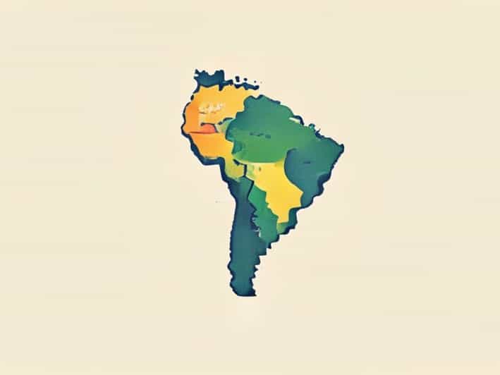
The map of South America provides a detailed visual representation of one of the most diverse and geographically expansive continents in the world. South America is known for its rich cultural history, varied landscapes, and significant ecological diversity. A map of this continent is more than just a guide to locations; it is a tool for understanding the relationships between countries, major cities, rivers, mountains, and other physical features. From the Andes Mountains stretching along the western edge to the Amazon Basin in the north, the map helps illustrate the continent’s natural beauty and complexity. Additionally, understanding the map of South America is essential for travelers, educators, students, and anyone interested in geography, geopolitics, or environmental studies.
Geographical Overview
South America is the fourth largest continent, covering an area of approximately 17.84 million square kilometers. Its map displays a diverse range of geographical features, including mountain ranges, rivers, forests, deserts, and coastal areas. The continent is bordered by the Atlantic Ocean to the east and the Pacific Ocean to the west, with the Caribbean Sea to the north. Countries such as Brazil, Argentina, Colombia, and Chile dominate the map, each with its own unique landscapes and cultural landmarks. A detailed map highlights the geographical divisions, showing how physical features influence climate, biodiversity, and human settlements.
Countries and Capitals
The map of South America clearly indicates the political boundaries of its twelve independent countries and several territories. The major countries include
- BrazilThe largest country in both area and population, with Brasília as its capital.
- ArgentinaKnown for Patagonia and the Pampas, with Buenos Aires as its capital.
- ColombiaSituated in the north, featuring Bogotá as its capital.
- ChileA narrow, elongated country along the Pacific coast, with Santiago as its capital.
- PeruHome to the Andes and Amazon rainforest, with Lima as its capital.
- VenezuelaKnown for the Orinoco River and Angel Falls, with Caracas as its capital.
Other countries such as Ecuador, Bolivia, Paraguay, Uruguay, Guyana, and Suriname are also represented on the map, each contributing to the continent’s cultural and ecological diversity. The map helps in visualizing the spatial relationships among these countries, understanding borders, and recognizing key urban centers.
Major Physical Features
One of the most important aspects of the map of South America is its depiction of physical features. The continent is home to some of the most iconic and geographically significant landscapes in the world. The Andes Mountains, running along the western edge, are the longest continental mountain range and have a significant impact on climate and biodiversity. The Amazon River, the second longest river globally, flows through Brazil, Peru, Colombia, and other countries, creating the largest tropical rainforest on Earth. Other notable rivers such as the Paraná, Orinoco, and São Francisco are also marked on the map, supporting ecosystems and human populations.
Climate Zones and Biomes
The map of South America also provides insight into the continent’s climate zones and biomes. The northern regions, including the Amazon Basin, are characterized by tropical rainforests and high humidity. The southern regions, particularly in Chile and Argentina, feature arid deserts, grasslands, and temperate zones. Coastal areas along the Pacific and Atlantic support different marine and weather patterns, which are also reflected on detailed climate maps. Understanding these zones is essential for studying agriculture, wildlife, and the environmental challenges faced by each region.
Cultural and Historical Significance
South America’s map is not just a guide to physical geography; it also tells a story of human history and cultural evolution. Ancient civilizations such as the Inca, Mapuche, and Tupi-Guarani have left enduring marks across the continent. The map shows locations of historical sites, major cities, and regions influenced by European colonization. Countries like Peru and Bolivia host ancient cities like Machu Picchu and Tiwanaku, which are represented on more detailed maps for historical and tourist purposes. The map also helps illustrate migration patterns, population density, and urban development over time.
Economic and Political Insights
Examining South America through its map provides valuable insights into the continent’s economy and political landscape. Key resources such as oil in Venezuela, copper in Chile, soybeans in Brazil, and silver in Peru are often identified on economic or thematic maps. Political maps highlight borders, administrative divisions, and major infrastructure such as highways, ports, and airports. These maps are crucial for understanding trade routes, regional cooperation, and geopolitical relationships among countries. Additionally, the map allows for visualizing areas prone to environmental risks like deforestation, flooding, and earthquakes.
Navigation and Travel
The map of South America serves as an essential tool for travelers, educators, and researchers. Tourists use maps to plan itineraries, identify natural wonders, and locate cultural sites. Travelers can easily understand distances between countries, major cities, and points of interest. Additionally, maps with topographical details aid in hiking, exploring mountainous regions, and navigating rivers. For educators and students, the map is a fundamental tool for teaching geography, history, and environmental science.
Digital Maps and Technological Advances
Modern technology has transformed how South America is mapped and studied. Digital maps, satellite imagery, and interactive mapping tools provide highly detailed views of terrain, climate, urban development, and land use. These tools enable real-time updates and integration of geographic data, making it easier for governments, researchers, and businesses to analyze spatial information. Digital maps also help in disaster management, urban planning, and conservation efforts, ensuring that the map of South America remains a dynamic and valuable resource.
The map of South America is an indispensable tool that provides a comprehensive understanding of the continent’s geography, culture, and history. By illustrating countries, capitals, physical features, climate zones, and economic resources, the map helps users grasp the complexity and diversity of South America. It is a guide for travelers, a teaching resource for students, and an analytical tool for researchers. Whether used for navigation, historical study, or environmental research, the map of South America remains central to appreciating the continent’s richness and the interconnectedness of its landscapes, cultures, and economies. By studying the map, one can better understand the challenges and opportunities that define South America today and its significance in the global context.