In navigation and land surveying, understanding and converting between different types of azimuths is an essential skill for accurate mapping and orienteering. Two commonly used azimuths are magnetic azimuth and grid azimuth. Magnetic azimuth refers to the angle measured clockwise from magnetic north to a specific point, while grid azimuth is measured from the grid north on a map projection. Converting between these two azimuths is crucial because magnetic north and grid north do not align perfectly, and failure to account for this difference can result in navigation errors. This topic explains the process of converting magnetic azimuths to grid azimuths, discusses key concepts, and provides practical examples to help readers apply the knowledge in real-world scenarios.
Understanding Magnetic Azimuth
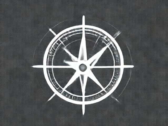
Magnetic azimuth is the directional angle measured in degrees from magnetic north to a particular object or location. Magnetic north is the direction a compass needle points, which is influenced by the Earth’s magnetic field. Unlike true north, which is a fixed geographical point, magnetic north shifts over time due to changes in the Earth’s magnetic field. Navigators often rely on magnetic azimuths when using a compass in the field because it provides a direct reference based on the Earth’s magnetism.
Key Characteristics of Magnetic Azimuth
- Measured clockwise from magnetic north (0° to 360°)
- Subject to magnetic declination, which is the angular difference between true north and magnetic north
- Varies depending on geographic location and changes over time
- Commonly used with handheld compasses and field navigation
Understanding Grid Azimuth
Grid azimuth is the angle measured clockwise from grid north, which is based on the north-south lines on a map projection. Unlike magnetic north, grid north remains fixed relative to the map, making it useful for precise surveying and navigation using topographic maps. Grid azimuth is essential for activities like land surveying, military navigation, and orienteering, where accurate map-based directions are critical.
Key Characteristics of Grid Azimuth
- Measured clockwise from grid north (0° to 360°)
- Independent of magnetic influences
- Used for plotting locations and courses on maps
- Requires adjustment if converting to or from magnetic azimuth due to declination
Magnetic Declination and Its Role
Magnetic declination is the key factor when converting between magnetic and grid azimuths. Declination is the angle between magnetic north and grid north and can be either east or west depending on the location. A positive (east) declination means magnetic north is east of grid north, while a negative (west) declination means it is west of grid north. Accurately knowing the local declination is essential for precise conversion between azimuths.
How to Determine Magnetic Declination
- Consulting topographic maps, which usually indicate the declination for the mapped area
- Using online tools and apps from geological survey organizations
- Checking compass manufacturers’ reference tables for general declination data
- Considering annual changes, as declination slowly shifts over time
Converting Magnetic Azimuth to Grid Azimuth
The conversion from magnetic azimuth to grid azimuth is straightforward once the magnetic declination is known. The basic formula is
Grid Azimuth = Magnetic Azimuth + Declination (East) or – Declination (West)
It is important to pay attention to whether the declination is east or west to apply the correct operation. After performing the calculation, ensure the resulting grid azimuth is within the 0° to 360° range by adding or subtracting 360° if necessary.
Step-by-Step Conversion Process
- Determine the magnetic azimuth from a compass reading.
- Identify the magnetic declination for your location and note whether it is east or west.
- If declination is east, add the declination to the magnetic azimuth.
- If declination is west, subtract the declination from the magnetic azimuth.
- Adjust the result to ensure it falls within 0° to 360°.
Practical Example
Suppose a navigator measures a magnetic azimuth of 120° to a landmark. The local magnetic declination is 10° east. To convert this to a grid azimuth
- Magnetic Azimuth = 120°
- Declination = 10° east
- Grid Azimuth = 120° + 10° = 130°
In this example, the grid azimuth to the landmark is 130°, ensuring accurate plotting on a map.
Considerations for Accuracy
Several factors can affect the accuracy of converting magnetic azimuth to grid azimuth
- Changes in magnetic declinationDeclination changes slightly each year, so using outdated information may result in errors.
- Compass errorsLocal magnetic anomalies, metal objects, or electronic devices can affect compass readings.
- Map projection differencesEnsure the grid system of the map aligns with the declination information being used.
Applications in Navigation and Surveying
Converting magnetic azimuth to grid azimuth is widely used in field navigation, land surveying, military operations, and outdoor activities such as hiking and orienteering. Accurate conversion ensures that the direction measured in the field can be precisely plotted on a map, helping navigators maintain their intended course and avoid errors that could lead to missed destinations or safety hazards.
Field Navigation
Hikers and outdoor enthusiasts often rely on magnetic azimuths when using a compass to follow a trail or reach a specific waypoint. Converting these readings to grid azimuths allows them to plot the course on a topographic map and make strategic decisions about routes, distances, and potential obstacles.
Land Surveying
Surveyors use grid azimuths for precise measurement and mapping of land parcels. Since maps are based on grid north, converting field magnetic readings ensures that the data is compatible with maps, legal descriptions, and cadastral records. This conversion is essential for accurate property boundaries, construction planning, and engineering projects.
Tools and Technology
Modern technology has made converting magnetic azimuth to grid azimuth easier and more accurate. GPS devices, digital compasses, and mapping software often include built-in declination correction, allowing users to obtain grid azimuths directly. However, understanding the underlying principles remains important, especially in situations where electronic devices may fail or be unavailable.
Manual Conversion Tools
- Protractors and map rulers for plotting azimuths on paper maps
- Declination charts provided by geological or survey authorities
- Field calculators or smartphone apps for quick adjustments
Converting magnetic azimuth to grid azimuth is a fundamental skill in navigation and surveying that ensures accurate plotting and directional guidance. By understanding magnetic and grid azimuths, identifying local magnetic declination, and applying the correct formula, individuals can maintain precision in field navigation and map-based tasks. Awareness of factors such as compass interference, declination changes, and map alignment is essential for achieving reliable results. Whether for outdoor adventure, military operations, or professional surveying, mastering this conversion enhances safety, accuracy, and confidence in navigation.